Water in agricultural landscapes
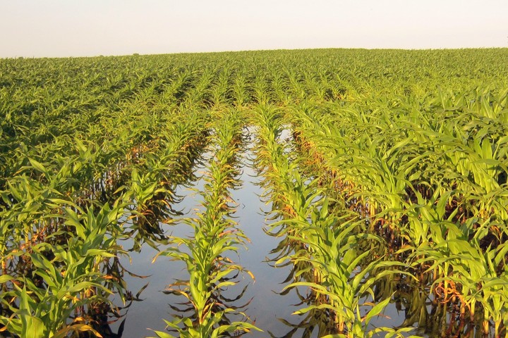 Flooded corn in Dane County, Wisconsin
Agroecosystems are hotspots of human modifications to the land surface, and agriculture both depends on and alters the water cycle at scales ranging from the soil pore to the globe.
Ongoing work in this area focuses on quantifying the ‘aquifer-to-atmosphere’ impacts of groundwater conservation using integrated remote sensing, crop modeling, and data synthesis. Specifically, we are investigating the Sheridan-6 Local Enhanced Management Area (LEMA), a novel irrigator-driven groundwater conservation program in Sheridan County, Kansas.
Key past findings:
- Shallow groundwater can enhance corn drought resistance by providing a ‘groundwater yield subsidy’ and enhancing root zone soil moisture ( Zipper et al., 2015).
- Urbanization can impact landscape-scale crop yield by altering groundwater recharge and water table depth ( Zipper et al., 2017).
- Many ecosystem services have significant, non-linear responses to water table depth ( Qiu et al., 2019).
Sam Zipper
HEAL PI; Assistant Scientist/Professor
I specialize in ecohydrology and hydrogeology of agricultural and urban landscapes.